Emigrant Trail, Stage UL4: Långasjö – Yxnanäs – Part of the Smålandsleden Trail Network
Category: Hiking
About the Emigrant Trail Through forests and meadows, past cottages and stone walls, this 110-kilome…
Category: Hiking
About the Emigrant Trail
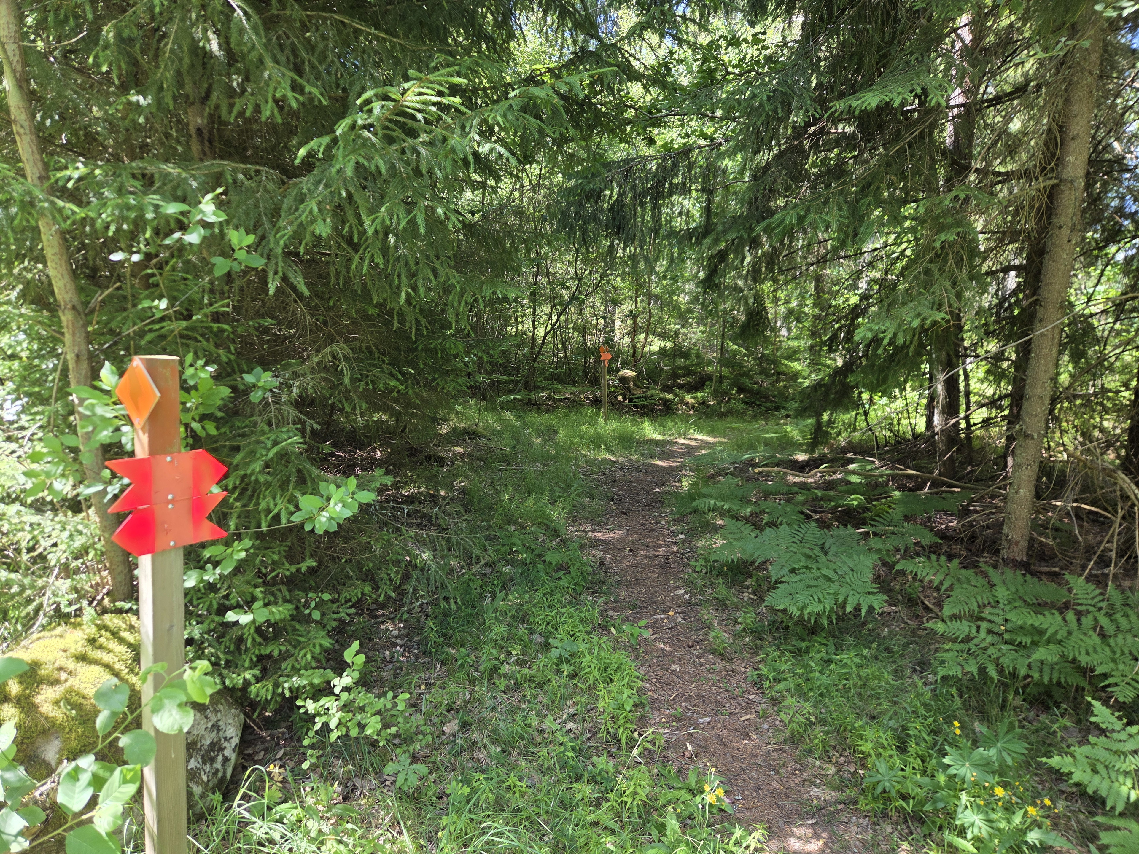
Through forests and meadows, past cottages and stone walls, this 110-kilometre-long hiking trail winds its way through the landscape. The trail alternates between footpaths, forest roads, gravel roads, and smaller paved roads, following in the footsteps of Vilhelm Moberg.
The Emigrant Trail passes through the part of Småland that for a long time formed the borderland between Sweden and Denmark, when Blekinge was still Danish territory. The rocky and infertile landscape forced the people of Småland to find creative solutions in order to make a decent living. Countless stone walls along the trail bear witness to this history—a story of human determination and perseverance.
Set out on the trail and experience Småland at its very best.
Emigrant Trail Stage UL5 Yxnanäs – Konga – Part of the Smålandsleden Trail Network
This stage mainly follows minor gravel roads, forest roads, and footpaths.
Walk Through Historic Borderlands - You are now travelling through historic border country between Konga in the west and Yxnanäs in the east. Until 1658, Blekinge belonged to Denmark, and this section follows the old national border. You will walk through areas that were affected by wars for centuries.
Farmers who wished to live peacefully with their neighbours across the border stream established local peace agreements, known as peasant peace treaties. Through these agreements, the people of Småland gained access to salt, herring, and spices via Ronneby, while the people of Blekinge received butter and beef from Småland. The author Vilhelm Moberg portrays life along the border in his novel Traitor Country (Förrädarland, 1967).
Klostergrottan Cave - Klostergrottan Cave, which deserves special mention, offers valuable insights into life long ago. During the Late Stone Age, people sought shelter here from harsh weather and dangerous animals while hunting for food. The cave was formed by a large boulder that was pushed out from the bedrock, creating an overhanging roof.
In the 1930s, archaeologists excavated the site and discovered arrowheads, flint flakes and fragments, pieces of greenstone axes, as well as animal bones and charcoal. Since 2025, the site has also offered a shelter and an outdoor toilet for visitors who wish to stay a little longer.
A grocery store can be reached via a short detour from the trail towards Konga.
Accommodation Along This Stage
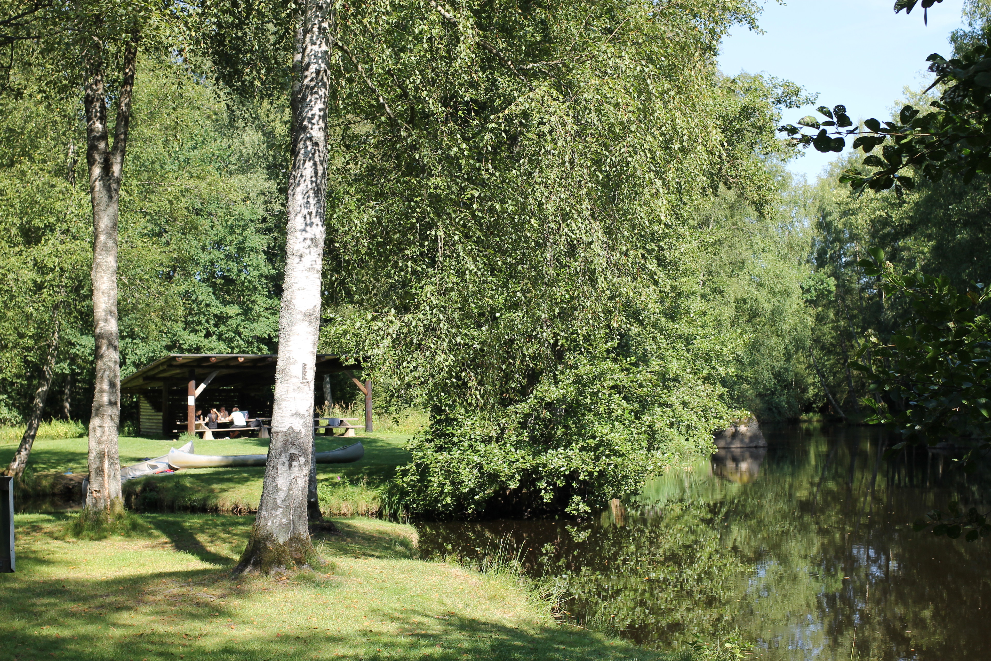
• Abrahams Camp in Abrahamshult – hostel and tent/camping pitches
Holken in Yxnanäs – hostel
Djupasjön Nature Campsite in Yxnanäs – tent/camping pitches
Åskefällelund – shelter and outdoor toilet
Klostergrottan Cave – shelter and outdoor toilet
Highlights Along the Stage
Klostergrottan Cave – a place that provides clues about what life was like thousands of years ago.
Distance: 20.4 kmEstimated hiking time: 5–6.5 hours
This text has been translated with the help of ChatGPT.
Leave only footprints Everything you bring into nature should be taken back with you. Bring a bag to collect any litter and food waste, and dispose of it in a rubbish bin or take it home.
Light fires safely The crackling of a campfire is enchanting, but always use a designated fire pit or choose sand or gravel as a base. If conditions are dry, skip the campfire altogether and enjoy a packed lunch instead.
Follow outdoor etiquette There are outdoor toilets at some locations along the trail. In an emergency, if you need to relieve yourself, do so well away from watercourses and paths used by other visitors. Dig a small hole and cover it with soil or a stone afterwards.
You can check whether a fire ban is in effect at www.lansstyrelsen.se/kronoberg
This text has been translated with the help of ChatGPT.
Category: Hiking
About the Emigrant Trail Through forests and meadows, past cottages and stone walls, this 110-kilome…
Category: Hiking
About the Emigrant Trail Through forests and meadows, past cottages and stone walls, this 110-kilome…
Category: Hiking
About the Emigrant Trail Through forests and meadows, past cottages and stone walls, this 110-kilome…
Category: Hiking
About the Emigrant Trail Through forests and meadows, past cottages and stone walls, this 110-kilome…